|
|
|
| Maps > Asia > A Complete Map of Asia |
Historic and contemporary maps of Asia, including physical and political maps, early exploration and colonization period maps, climate maps, relief maps, population density and distribution maps, vegetation maps, and economic/resource maps.
|
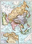
Asia and Biblical Lands,
1883 |
|
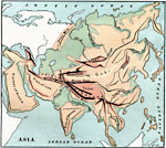
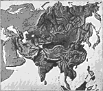
Mountain Ranges of Asia,
1885 |
|
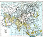
Asia,
1885 |
|
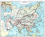
Major Political Divisions of Asia.,
1888 |
|
Relief Map of Asia,
1890 |
|
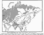
Orographic Chart of Asia,
1891 |
|
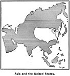
Comparative Area of Asia and the United States,
1899 |
|
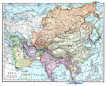
Asia,
1899 |
|
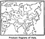
Agricultural Regions of Asia,
1899 |
|
Asia (Physical),
1901 |
| First | Previous | Next | Last |
| Maps > Asia > A Complete Map of Asia |
Maps ETC is a part of the Educational Technology Clearinghouse
Produced by the Florida Center for Instructional Technology © 2009
College of Education, University of South Florida