|
|
|
| Maps > Europe > Italy |
Historic and contemporary maps of Italy, including political and physical maps, early empires, WWI, city plans, and battle plans.
|
Northern and Central Italy,
16th Century |
|
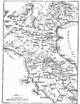
Italy,
16th–18th Century |
|
Northern Italy,
1701–1763 |
|
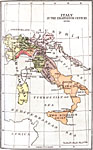
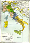
Italy in the Eighteenth Century,
1770 |
|
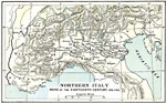
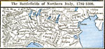
The Battlefields of Northern Italy,
1794–1800 |
|
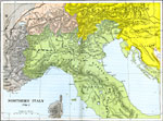
Northern Italy,
1796–1797 |
|
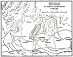
Sketch Map to Illustrate the Italian Campaign,
1796–1797 |
|
Italy during the War with Naples ,
1798–1799 |
|
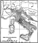
The Italian States,
1806 |
|
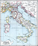
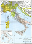
Italy,
1815–1871 |
| First | Previous | Next | Last |
| Maps > Europe > Italy |
Maps ETC is a part of the Educational Technology Clearinghouse
Produced by the Florida Center for Instructional Technology © 2009
College of Education, University of South Florida