|
|
|
| Maps > Europe > Norway |
Historic and contemporary maps of Norway for use in the K-12 classroom.
|
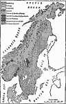
Geological Map of Norway,
1911 |
|
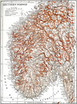
Southern Norway,
1911 |
|
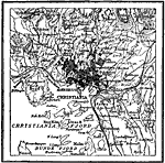
Christiania, Norway,
1914 |
|
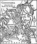
Christiania,
1919 |
| Maps > Europe > Norway |
Maps ETC is a part of the Educational Technology Clearinghouse
Produced by the Florida Center for Instructional Technology © 2009
College of Education, University of South Florida