|
|
|
| Maps > Globes & Multi-Continent > Regional Maps >Eastern Hemisphere |
Regional Globes & Multi-Continental maps of the Eastern Hemisphere region from the Maps ETC collection. This may include physical and political maps, early history and empires, climate maps, relief maps, vegetation maps, population density and distribution maps, cultural maps, and economic/resource maps.
|
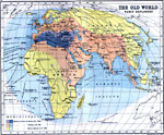
The Old World and Early European Explorers,
1000–1522 |
|
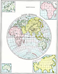
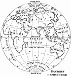
Eastern Hemisphere,
1901 |
|
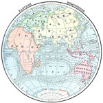
Eastern Hemisphere and Ocean Currents,
1902 |
|
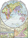
Eastern Hemisphere with Rivers, Lakes, and Mountains,
1906 |
|
Outline Map of the Eastern Hemisphere,
1909 |
|
A Relief Map of the Eastern Hemisphere,
1909 |
|
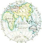
Eastern Hemisphere,
1910 |

|
Relief Map of the Eastern Hemisphere,
1910 |
|
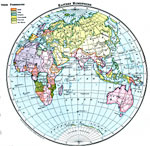
Countries and European Possessions in the Eastern Hemisphere,
1916 |
| Maps > Globes & Multi-Continent > Regional Maps >Eastern Hemisphere |
Maps
is a part of the
Educational Technology Clearinghouse
Produced by the
Florida Center for Instructional Technology
© 2009
College of Education
,
University of South Florida