|
|
|
| Maps > North America > Cuba |
Historic and contemporary maps of Cuba for use in the K-12 classroom.
|
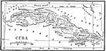
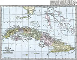
Cuba,
1898 |
|
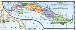
Cuba,
1901 |
|
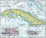
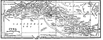
Cuba, Jamaica, and Haiti Islands,
1901 |
|
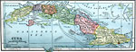
Cuba,
1909 |
|
Cuba,
1912 |
|
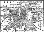
Havana Harbor,
1919 |
|
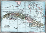
Cuba,
1919 |
|
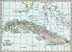
Cuba,
1920 |
|
Cuba,
1920 |
| Maps > North America > Cuba |
Maps ETC is a part of the Educational Technology Clearinghouse
Produced by the Florida Center for Instructional Technology © 2009
College of Education, University of South Florida