|
|
|
| Maps > South America > Brazil |
A collection of historic and contemporary maps of Brazil, including political and physical maps for use in the K-12 classroom.
|
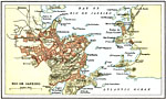
Rio de Janeiro,
1911 |

|
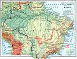
Brazil,
1915 |
|
Eastern Brazil,
1916 |
|
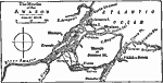
Mouths of the Amazon River,
1919 |
| Maps > South America > Brazil |
Maps ETC is a part of the Educational Technology Clearinghouse
Produced by the Florida Center for Instructional Technology © 2009
College of Education, University of South Florida