Maps Site map
  Maps > United States > Connecticut
Site Map  

  Record   11   to   20  of   44

A collection of historic and contemporary political and physical maps of Connecticut, including early settlements, geomorphology, and automobile routes.
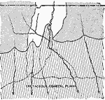
Connecticut Shore Overlap, 1911
A map from 1911 of the Connecticut River course deviation near Middletown, and the most likely geologic features that explain the course change. The map shows the present Long Island shoreline (dashed line) and the Cretaceous shoreline (solid line) e...

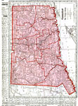
Connecticut, 1912
A map from 1912 of Connecticut showing the State capital of Hartford, counties and county seats, major cities and towns, railroads, lakes and rivers, and the coastal features of the Long Island Sound. A grid reference in the margins of the map lists ...

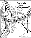
Norwich, 1919
A road map of the vicinity of Norwich Connecticut from the Official Automobile Blue Book (1919), showing the Thames and Shetucket rivers, bridges, major roads, railroads and stations, parks, and major landmarks of the area....

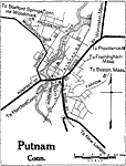
Putnam, 1919
A road map of the vicinity of Putnam Connecticut from the Official Automobile Blue Book (1919), showing the Quinebaug River, bridges, major roads, railroads and stations, parks, and major landmarks of the area....

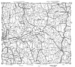
Western Connecticut, 1919
New York and Connecticut from 1919, showing roads. ...

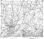
New Haven, 1919
A road map of southern Connecticut in the vicinity of New Haven from the Official Automobile Blue Book (1919), keyed to show the best auto routes, other auto routes, unreported roads, railroads, and canals....

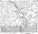
Coastal Connecticut, 1919
A road map of coastal Connecticut from the Official Automobile Blue Book (1919), keyed to show the best auto routes, other auto routes, unreported roads, railroads, and canals....

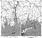
Southeastern Connecticut, 1919
A road map of southeastern Connecticut in the vicinity of New London from the Official Automobile Blue Book (1919), keyed to show the best auto routes, other auto routes, unreported roads, railroads, and canals....

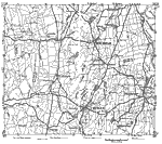
Central Connecticut, 1919
A road map of central Connecticut in the vicinity of Meriden from the Official Automobile Blue Book (1919), keyed to show the best auto routes, other auto routes, unreported roads, railroads, and canals....

Central Connecticut, 1919
A road map of central Connecticut from the Official Automobile Blue Book (1919), keyed to show the best auto routes, other auto routes, unreported roads, railroads, and canals....

First Previous Next Last


  Maps > United States > Connecticut
Site Map  

Maps ETC is a part of the Educational Technology Clearinghouse
Produced by the Florida Center for Instructional Technology © 2009
College of Education, University of South Florida