Maps Site map
  Maps > United States > Maine
Site Map  

  Record   31   to   40  of   40

A collection of historic and contemporary political and physical maps of Maine, including early exploration and settlement maps, and automobile route maps, for use in the K-12 classroom.
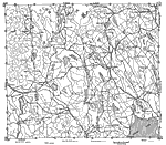
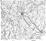
Western Maine, 1919
A road map of western Maine near the New Hampshire State line, from the Official Automobile Blue Book (1919), keyed to show the best auto routes, other auto routes, unreported roads, railroads, and canals....

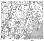
Vicinity of Lewiston, 1919
A road map of southwestern Maine in the vicinity of Auburn and Lewiston from the Official Automobile Blue Book (1919), keyed to show the best auto routes, other auto routes, unreported roads, railroads, and canals....

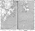
Coastal Maine, 1919
A road map of coastal Maine in the vicinity of Wiscasset from the Official Automobile Blue Book (1919), keyed to show the best auto routes, other auto routes, unreported roads, railroads, and canals....

Vicinity of Rockland, 1919
A road map of coastal Maine in the vicinity of Rockland from the Official Automobile Blue Book (1919), keyed to show the best auto routes, other auto routes, unreported roads, railroads, and canals....

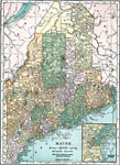
Maine, 1919
A map from 1920 of Maine showing the State capital of Augusta, counties and county seats, major cities, towns and ports, railroads, mountains, lakes, rivers, and coastal features....

Portland, Maine, 1920
A map from 1920 of the vicinity of Portland, Maine, showing the major streets, railroads, neighboring towns, rivers, and islands in the area from Great Chebeag Island to Cape Elizabeth....

Maine, 1920
A map from 1920 of Maine showing the State capital of Augusta, counties and county seats, major cities, towns and ports, railroads, mountains, lakes, rivers, and coastal features. An inset map details the vicinity of Portland....

Maine, 1920
A map from 1920 of Maine showing the State capital of Augusta, counties and county seats, major cities, towns and ports, railroads, mountains, lakes, rivers, and coastal features. An inset map details the vicinity of Portland....

Maine, 1920
A map from 1920 of Maine showing the State capital of Augusta, counties and county seats, major cities, towns and ports, railroads, mountains, lakes, rivers, and coastal features. An inset map details the vicinity of Portland. A grid reference in the...

Maine, 1922
A map from 1922 of Maine showing the State capital of Augusta, major cities, towns and ports, railroads, mountains, lakes, rivers, and coastal features....

First Previous


  Maps > United States > Maine
Site Map  

Maps ETC is a part of the Educational Technology Clearinghouse
Produced by the Florida Center for Instructional Technology © 2009
College of Education, University of South Florida