Maps Site map
  Maps > United States > North Carolina
Site Map  

  Record   11   to   20  of   23

A collection of historic and contemporary political and physical maps of North Carolina, including early exploration and settlement maps, Revolutionary and Civil War maps, and geophysical maps.

The Port of Wilmington, 1909
A map from 1909 of the port of Wilmington in North Carolina, showing the Cape Fear River, railroads, neighboring towns, and coastal features....

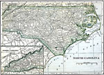
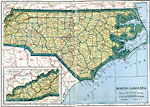
North Carolina, 1909
A map from 1909 of North Carolina showing the capital of Raleigh, principal cities and towns, railroads, mountains, rivers, and coastal features....

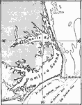
Albemarle and Pamlico Sounds, 1911
A map from 1911 of the Albemarle and Pamlico Sounds and bordering sand reefs, on the east coast of North Carolina. ...

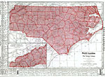
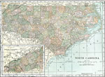
North Carolina, 1912
A map from 1912 of North Carolina showing the capital of Raleigh, counties and county seats, principal cities and towns, railroads, mountains, rivers, and coastal features. A grid reference in the margins of the map lists counties with populations gi...

North Carolina, 1914
A map from 1914 of North Carolina showing the capital of Raleigh, counties and county seats, principal cities and towns, railroads, mountains, rivers, and coastal features. A grid reference in the margins of the map lists counties, principal cities, ...

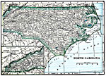
North Carolina, 1919
A map from 1919 of North Carolina showing the capital of Raleigh, principal cities and towns, railroads, mountains, rivers, and coastal features....

North Carolina, 1919
A map from 1919 of North Carolina showing the capital of Raleigh, counties and county seats, principal cities and towns, railroads, mountains, rivers, and coastal features....

North Carolina, 1920
A map from 1920 of North Carolina showing the capital of Raleigh, counties and county seats, principal cities and towns, railroads, mountains, rivers, and coastal features....

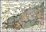
Western North Carolina, 1920
A map from 1920 of western North Carolina showing the counties and county seats, principal cities and towns, railroads, mountains, and rivers....

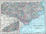
North Carolina, 1920
A map from 1920 of North Carolina showing the capital of Raleigh, counties and county seats, principal cities and towns, railroads, mountains, rivers, and coastal features....

First Previous Next Last


  Maps > United States > North Carolina
Site Map  

Maps ETC is a part of the Educational Technology Clearinghouse
Produced by the Florida Center for Instructional Technology © 2009
College of Education, University of South Florida