|
|
|
| Maps > United States > Pennsylvania |
Historic and contemporary maps of the Panama Canal Zone, including construction details, for use in the K-12 classroom.
|
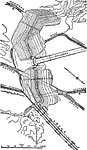
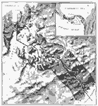
Gatun Dam, Spillway and Locks,
1913 |
|
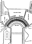
Gatun Dam Spillway,
1913 |
|
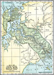
United States Canal Zone,
1914 |
|
Isthmus with Completed Panama Canal,
1914 |
|
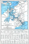
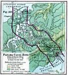
Panama Canal Zone,
1915 |
|
Panama Canal Zone,
1916 |
|
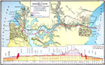
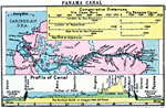
The Panama Canal,
1919 |
|
The Panama Canal,
1920 |
|
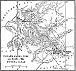
Panama Canal,
1920 |
|
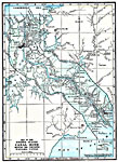
Panama Canal Zone,
1920 |
| First | Previous | Next | Last |
| Maps > United States > Pennsylvania |
Maps ETC is a part of the Educational Technology Clearinghouse
Produced by the Florida Center for Instructional Technology © 2009
College of Education, University of South Florida