|
|
|
| Maps > United States > Regional Maps >Southwestern States |
|
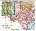
Texas, New Mexico, and Indian Territory,
1883 |
|
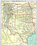
The Southern Central States,
1888 |
|
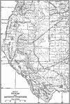
Part of West Texas and New Mexico,
1911 |
|
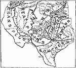
Texas, Eastern New Mexico, and Southern Oklahoma,
1911 |
| Maps > United States > Regional Maps >Southwestern States |
Maps
is a part of the
Educational Technology Clearinghouse
Produced by the
Florida Center for Instructional Technology
© 2009
College of Education
,
University of South Florida