Engineer's Scale
| View Cart ⇗ | Info

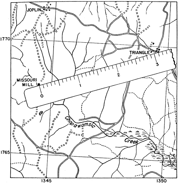
“Measurement of distance on a map by means of an engineer’s scale.” -U.S. Chief of Engineers
Galleries
Mechanical Drawing ToolsSource
Chief of Engineers Advance Map and Aerial Photograph Reading (Washington, DC: United States Government Printing Office, 1941)
Downloads
2342×2400, 654.3 KiB
999×1024, 121.4 KiB
624×640, 65.9 KiB
312×320, 25.2 KiB