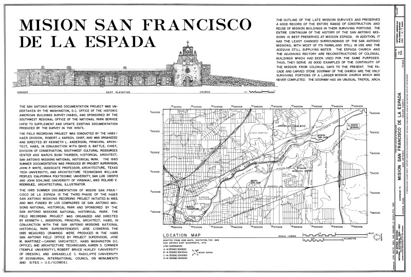
Mission Espada East Elevation and Location Map
Drawn in1983 by John White and Annabelle Radcliffe as a part of the Historic American Buildings Survey. Drawing was downloaded from the Library of Congress Prints and Photographs Division Washington, D.C. and photo edited in 2014 by the Florida Center for Instructional Technology.
WARNING: You are about to download a 3.6 MB TIFF!
Normally such a large file is only needed for high quality printing purposes. If you are certain that you need such a large file, click the DOWNLOAD button to begin.
If you do not wish to download the large TIFF, just click the × in the top right-hand corner to close this alert.