|
|
|
| Maps > Asia > A Complete Map of Asia |
Historic and contemporary maps of Asia, including physical and political maps, early exploration and colonization period maps, climate maps, relief maps, population density and distribution maps, vegetation maps, and economic/resource maps.

|
The Empire of Genghis Khan in Asia,
13th Century |

|
Empires of Asia,
1740 |
|
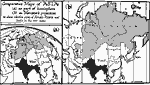
Comparative Projections of Asia,
1800–1899 |

|
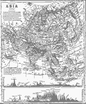
Asia,
1858 |
|
Asia (Physical),
1868 |

|
Physical and Political Asia,
1870 |

|
Physical, Political, and Economic Asia,
1872 |

|
Relief Map of Asia,
1872 |

|
Drawing Asia,
1872 |

|
Physical Asia,
1882 |
| Next | Last |
| Maps > Asia > A Complete Map of Asia |
Maps ETC is a part of the Educational Technology Clearinghouse
Produced by the Florida Center for Instructional Technology © 2009
College of Education, University of South Florida