Maps Site map
  Maps > Asia > A Complete Map of Asia
Site Map  

  Record   21   to   30  of   71

Historic and contemporary maps of Asia, including physical and political maps, early exploration and colonization period maps, climate maps, relief maps, population density and distribution maps, vegetation maps, and economic/resource maps.
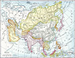
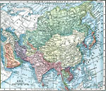
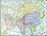
Asia, 1901
A map of Asia from 1901 showing the political boundaries of the region at the time, including the extent of the Russian, Ottoman Turk, Chinese, and Japanese empires, the British and French possessions in India and Indo–China, and the United Sta...

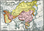
Asia, 1903
A map of Asia from 1903 showing country boundaries at the time, major cities, railroads, rivers, lakes, terrain, and coastal features. This map shows the Trans-Siberian Railway from Saint Petersburg to Vladivostok, the extent of the Turkish Ottoman E...

Asia, 1903
A map of Asia from 1903 showing country boundaries at the time, major cities, rivers, lakes, terrain, and coastal features. This map shows the extent of the Russian Empire and Turkish Ottoman Empire in Asia, the Empire of Japan and Chinese Empire, fo...

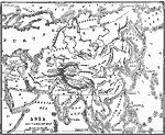
Landforms of Asia, 1904
An outline map from 1904 of Asia showing mountain systems, plateau, plains, major lakes, rivers, coastal features, and seas of the region. This map is used as a key map for locating landform features on a traditional relief map, where terrain is depi...

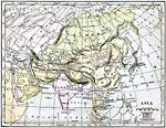
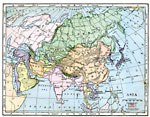
Asia, 1904
A map of Asia from 1904 showing country boundaries at the time, major cities, rivers, lakes, deserts, terrain, and coastal features. This map shows the extent of the Russian Empire and Turkish Ottoman Empire in Asia, the Empire of Japan and Chinese R...

Asia, 1906
A map of Asia from 1906 showing country boundaries at the time, major cities, railroads, rivers, lakes, terrain, and coastal features. The map indicates foreign possessions in the region with British India (which included Myanmar or Burma), French In...

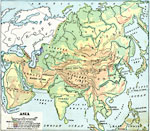
Land Elevations of Asia, 1906
A map from 1906 showing the general land elevations of Asia. This map is color-coded to show lands below sea level in purple, lowlands in green, areas above 1,000 feet above sea level in yellow-buff, and above 4,000 feet in red-buff. The map shows mo...

Asia, 1906
A map of Asia from 1906 showing country boundaries at the time, major cities, rivers, lakes, deserts, terrain, and coastal features. This map shows the extent of the Russian Empire and Turkish Ottoman Empire in Asia, the Empire of Japan and Chinese R...

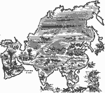
Plants of Asia, 1906
A pictorial map from 1906 illustrating the principle plants found in various regions of Asia. The map shows tea in the east and southeast of Asia and Ceylon (Sri Lanka), rice in the wet lands of the southeast, cotton, wheat, millet, and sugarcane in ...

Animals of Asia, 1906
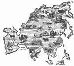
A pictorial map from 1906 illustrating the various animals that live in regions of Asia. "The white bear, the seal and many sea birds are found near the Arctic shore. In the cold parts of Siberia tribes of yellow people keep herds of reindeer. L...

First Previous Next Last


  Maps > Asia > A Complete Map of Asia
Site Map  

Maps ETC is a part of the Educational Technology Clearinghouse
Produced by the Florida Center for Instructional Technology © 2009
College of Education, University of South Florida