|
|
|
| Maps > Europe > Germany |
Historic and contemporary maps of Germany, including political and physical maps, early empires, WWI, city plans, and battle plans.

|
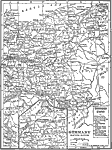
Central Germany,
1910 |
|
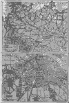
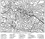
Berlin,
1910 |
|
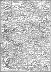
Germany Eastern Section,
1912 |
|
Germany Western Section,
1912 |
|
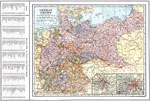
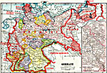
German Empire,
1914 |
|
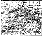
Street Map of Berlin, Germany,
1914 |
|
Berlin, Germany,
1914 |
|
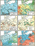
Germany,
1914–1919 |
|
Physical and Cultural Geography of the German Empire,
1915 |
|
Southern German States, Braunschwieg State, and Thüringische State,
1915 |
| First | Previous | Next | Last |
| Maps > Europe > Germany |
Maps ETC is a part of the Educational Technology Clearinghouse
Produced by the Florida Center for Instructional Technology © 2009
College of Education, University of South Florida