|
|
|
| Maps > Europe > Netherlands |
Historic and contemporary maps of the Netherlands, including political and physical maps, early empires, and city plans.
|
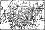
Plan of Leyden,
1600s |

|
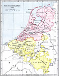
The Netherlands at the Death of Elizabeth,
1603 |
|
Netherlands,
1702 |
|
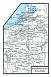
Battlefields of the Netherlands,
1713 |
|
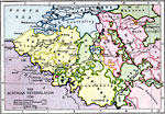
Austrian Netherlands,
1792 |
|
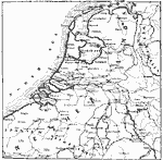
Netherlands,
17th Century |
|
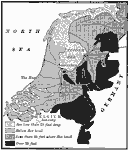
The Portion of the Netherlands that is below Sea Level,
1910 |
| Maps > Europe > Netherlands |
Maps ETC is a part of the Educational Technology Clearinghouse
Produced by the Florida Center for Instructional Technology © 2009
College of Education, University of South Florida