|
|
|
| Maps > Europe > Regional Maps >Western Europe |
Regional European maps of the Western Europe region from the Maps ETC collection. This includes physical and political maps, early history and empires, WWI maps, climate maps, relief maps, vegetation maps, population density and distribution maps, cultural maps, and economic/resource maps.
|
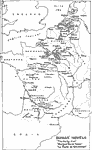
Dumas' Novels "The Forty-Five," "Marguerite de Valois," "La Dame de Monsoreau",
1802–1870 |
|
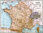
France and Switzerland,
1883 |
|
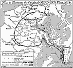
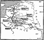
Original German Plan on the Western Front,
1914 |
|
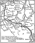
World War I: A Year of War in the West,
1914–1915 |
|
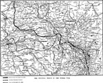
The Western Front in the World War,
1914–1918 |
|
The Western Front in France and Belgium,
1914–1919 |
|
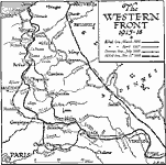
The Western Front,
1915–1918 |
|
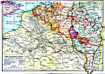
World War I Troop Positions on the Western Front,
1916 |
|
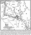
Last Drives of the Germans in WWI,
1918 |
|
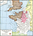
England and France after the Battle of Tenchebray,
A.D. 1106 |
| First | Previous | Next | Last |
| Maps > Europe > Regional Maps >Western Europe |
Maps
is a part of the
Educational Technology Clearinghouse
Produced by the
Florida Center for Instructional Technology
© 2009
College of Education
,
University of South Florida