|
|
|
| Maps > Europe > United Kingdom |
A collection of historic and contemporary maps of England, Scotland, and Wales, including historic divisions, empires and kingdoms, detailed travel maps, climate maps, population density and distribution maps, vegetation maps, and economic/resource maps.
|
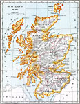
Scotland,
1641–1892 |

|
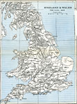
England and Wales at the outbreak of The English Civil War,
1642 |
|
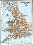
England and Wales ,
1642–1651 |

|
England and Wales,
1644 |
|
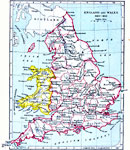
England and Wales,
1649–1910 |
|
England and Wales,
1660–1892 |

|
Plan of St Paul's Cathedral, London,
1675–1710 |
|
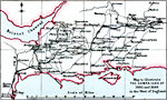
The Campaigns of Monmouth and the Prince of Orange in West England,
1685–1688 |
|
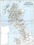
Scotland and Northern England,
1688–1746 |

|
Glencoe,
1691 |
| First | Previous | Next | Last |
| Maps > Europe > United Kingdom |
Maps ETC is a part of the Educational Technology Clearinghouse
Produced by the Florida Center for Instructional Technology © 2009
College of Education, University of South Florida