| Maps > Oceania > Complete Maps |
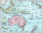 |
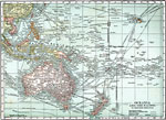
Oceania, 1899 Map of Oceania in color. |
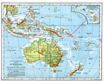 |
Australia and the Islands of the Pacific, 1901 Map of Australia and islands of the Pacific including the Hawaiian islands. |
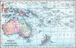 |
Map of Australia and the Pacific Islands, 1903 A map of Australia and the South Pacific, as it was in 1903. |
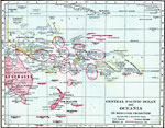 |
Central Pacific Ocean and Oceania on Mercator Projection, 1906 Map of New Zealand in 1906. |
 |
Oceania and the Pacific, 1920 Oceania and the Pacific. Shows ocean steamer routes with distances in nautical miles, submarine cables, telegraph lines. |
| Maps > Oceania > Complete Maps |
Maps is a part of the Educational Technology Clearinghouse
Produced by the Florida Center for Instructional Technology © 2007
College of Education, University of South Florida