|
|
|
| Maps > Africa > A Complete Map of Africa |
Historic and contemporary maps of Africa, including political and physical maps, pre-colonial and colonial maps, climate maps, relief maps, population density and distribution maps, vegetation maps, and economic/resource maps.
|
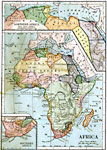
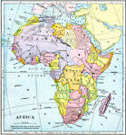
Pre-Colonial Africa,
1883 |
|
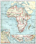
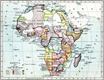
Africa before the Berlin Conference,
1884 |
|
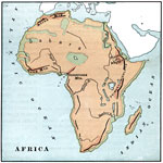
Mountain Systems of Africa,
1885 |
|
Pre-Colonial Africa,
1885 |
|
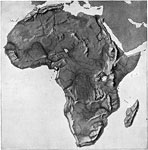
Relief Map of Africa,
1890 |
|
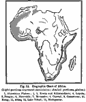
Orographic Chart of Africa,
1891 |
|
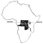
Congo State,
1893 |
|
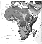
Relief Map of Africa,
1897 |
|
Colonial Africa,
1897 |
|
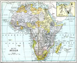
Africa,
1897 |
| First | Previous | Next | Last |
| Maps > Africa > A Complete Map of Africa |
Maps ETC is a part of the Educational Technology Clearinghouse
Produced by the Florida Center for Instructional Technology © 2009
College of Education, University of South Florida