|
|
|
| Maps > Asia > China |
Historic and contemporary maps of China including political, physical, cultural, relief, empirical and colonial maps.
|
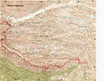
Tibetan Highlands,
1971 |
|
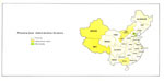
China's Province-level Administrative Divisions,
1971 |
|
China's Province Names,
1971 |
|
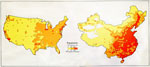
Population Distribution of China,
1971 |
|
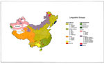
Linguistic Groups,
1971 |
|
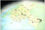
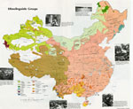
Ethnolinguistic Groups of China,
1971 |
|
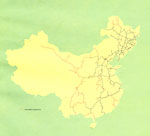
Railroad Network of China,
1971 |
|
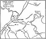
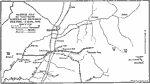
The Battle of Liao Yang,
August 24 to September 4, 1904 |
|
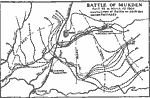
Battle of Mukden,
February 20, 1905–March 10, 1905 |
|
Battle of Mukden,
February 22, 1905–March 10, 1905 |
| First | Previous |
| Maps > Asia > China |
Maps ETC is a part of the Educational Technology Clearinghouse
Produced by the Florida Center for Instructional Technology © 2009
College of Education, University of South Florida