|
|
|
| Maps > Asia > Philippines |
A collection of historic and contemporary political and physical maps of the Philippine Islands, including colonial period maps, for use in the K-12 classroom.
|
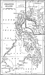
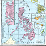
Philippine Islands,
1898 |
|
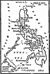
Philippine Islands,
1899 |
|
Philippine Islands,
1899 |
|
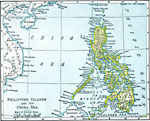
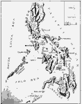
Philippine Islands and the China Sea,
1901 |
|
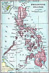
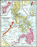
Philippine Islands,
1902 |
|
Philippine Islands ,
1906 |
|
Relief Map of the Philippine Islands,
1906 |
|
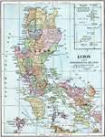
Luzon and Neighboring Islands,
1906 |
|
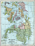
Visayas and Mindanao,
1906 |
|
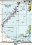
Palawan, Jolo Archipelago, and other Western Philippine Islands,
1906 |
| Next | Last |
| Maps > Asia > Philippines |
Maps ETC is a part of the Educational Technology Clearinghouse
Produced by the Florida Center for Instructional Technology © 2009
College of Education, University of South Florida