|
|
|
| Maps > Asia > Regional Maps >Palestine |
Regional Asian maps of the Palestine region from the Maps ETC collection. This includes physical and political maps, early history and empires, climate maps, relief maps, population density and distribution maps, cultural maps, and economic/resource maps.
|
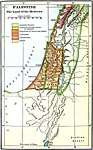
Palestine,
500 BC |
|
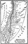
Dominion of Solomon and Phoenicia,
971–931 BC |
|
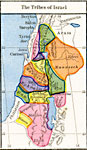
The Tribes of Israel,
about 1000 B.C. |
|
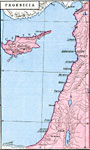
Phoenicia,
about 1450 BC |
|
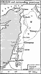
Galilee and Surrounding Provinces,
Beginnings of Christianity |
|
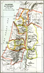
Palestine,
New Testament Era |
|
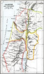
Palestine,
Old Testament Times |
|
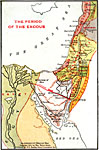
Period of the Exodus,
Old Testament Times |
| First | Previous |
| Maps > Asia > Regional Maps >Palestine |
Maps
is a part of the
Educational Technology Clearinghouse
Produced by the
Florida Center for Instructional Technology
© 2009
College of Education
,
University of South Florida