|
|
|
| Maps > Asia > Regional Maps >South Asia |
Regional Asian maps of the South Asia region from the Maps ETC collection. This includes physical and political maps, early history and empires, climate maps, relief maps, population density and distribution maps, cultural maps, and economic/resource maps.
|
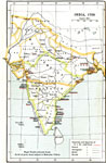
India,
1705 |
|
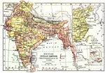
British Indian Empire from its Foundation in 1757 to 1886. ,
1757–1886 |
|
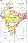
India,
1765 |
|
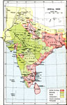
India,
1805 |

|
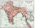
India,
1857 |
|
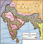
The Anglo–Indian Empire,
1886 |
|
India, Nepal, Bhutan, Afghanistan, and Baluchistan,
1906 |
|
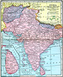
Indian Empire,
1912 |
| Maps > Asia > Regional Maps >South Asia |
Maps
is a part of the
Educational Technology Clearinghouse
Produced by the
Florida Center for Instructional Technology
© 2009
College of Education
,
University of South Florida