|
|
|
| Maps > Asia > Regional Maps >Southwest Asia |
Regional Asian maps of the Southwest Asia region from the Maps ETC collection. This includes physical and political maps, early history and empires, climate maps, relief maps, population density and distribution maps, cultural maps, and economic/resource maps.
|
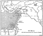
Syria Before the Conquests of Saladin,
1098–1187 |
|
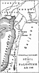
Christian Kingdoms in Syria and Palestine,
1142 |
|
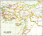
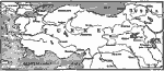
Asia Minor,
1150–550 BC |
|
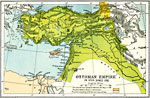
Ottoman Empire in Asia,
1800s |
|
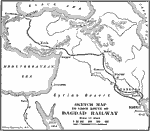
Bagdad Railroad,
1888–1914 |
|
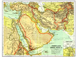
Turkey in Asia, Persia, Egypt ,
1904 |
|
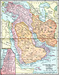
Turkish Asia, Arabia and Persia,
1906 |
|
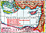
The Levant,
1914–1919 |
|
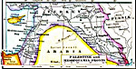
Palestine and Mesopotamia Fronts,
1914–1919 |
|
Turkish Armenia,
1915 |
| Next | Last |
| Maps > Asia > Regional Maps >Southwest Asia |
Maps
is a part of the
Educational Technology Clearinghouse
Produced by the
Florida Center for Instructional Technology
© 2009
College of Education
,
University of South Florida