|
|
|
| Maps > Asia > Regional Maps >Southwest Asia |
Regional Asian maps of the Southwest Asia region from the Maps ETC collection. This includes physical and political maps, early history and empires, climate maps, relief maps, population density and distribution maps, cultural maps, and economic/resource maps.
|
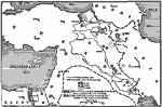
Campaign in Asia Minor,
1915–1916 |
|
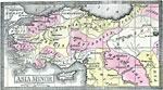
Asia Minor,
1920 |

|
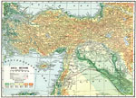
Economic and Commercial Map of the Near East,
1920 |

|
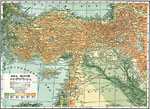
Turkey in Asia,
1920 |

|
Asia Minor,
1920 |
|
Asia Minor,
1920 |

|
Historic Cities of Asia Minor, Syria, and Mesopotamia,
1921 |
|
Asia Minor,
2000 BC |
|
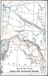
The Tigris and Euphrates Region,
2700–539 BCE |
|
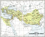
Empire of Alexander the Great,
325 BC |
| First | Previous | Next | Last |
| Maps > Asia > Regional Maps >Southwest Asia |
Maps
is a part of the
Educational Technology Clearinghouse
Produced by the
Florida Center for Instructional Technology
© 2009
College of Education
,
University of South Florida