|
|
|
| Maps > Asia > Regional Maps >Eastern Asia |
Regional Asian maps of the Eastern Asia region from the Maps ETC collection. This includes physical and political maps, early history and empires, climate maps, relief maps, population density and distribution maps, cultural maps, and economic/resource maps.
|
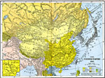
The Chinese Empire,
1910 |
|
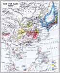
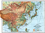
Economy of the Far East,
1912 |
|
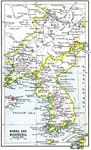
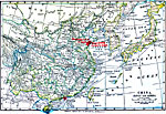
Korea and Manchuria,
1912 |
|
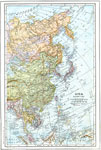
Eastern Asia,
1914 |
|
China, Japan, and Korea,
1914–1919 |
|
China and Japan,
1916 |
|
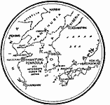
The Shantung Peninsula,
1919 |
|
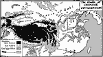
The Cradle of Chinese Civilization,
Ancient China |
| First | Previous |
| Maps > Asia > Regional Maps >Eastern Asia |
Maps
is a part of the
Educational Technology Clearinghouse
Produced by the
Florida Center for Instructional Technology
© 2009
College of Education
,
University of South Florida