|
|
|
| Maps > Asia > Russia |
Historic and contemporary maps of Russia, including political and physical maps, early empires, territorial expansion, and city plans.
|
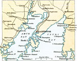
The Environs of Vladivostok,
1912 |
|
Far East Russia around Vladivostok,
1912 |
|
Russia,
1914 |
|
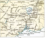
The Murman Coast and Archangel,
1918 |
|
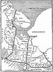
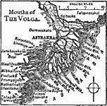
Mouths of the Volga,
1919 |
|
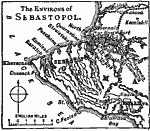
Sebastopol and Western Crimea,
1919 |
|
Russia in Europe and Caucasia,
1920 |
|
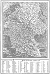
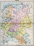
Russia,
1920 |
|
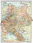
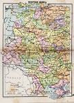
Western Russia,
1920 |
|
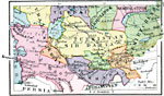
Russian Central Asia,
1920 |
| First | Previous |
| Maps > Asia > Russia |
Maps ETC is a part of the Educational Technology Clearinghouse
Produced by the Florida Center for Instructional Technology © 2009
College of Education, University of South Florida