|
|
|
| Maps > Australia > Complete Maps |
Historic and contemporary maps of Australia, including physical and political maps, climate maps, relief maps, and economic/resource maps.
|
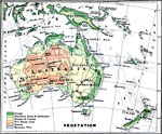
Vegetation Map of Australia,
1915 |
|
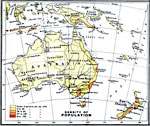
Australia – Density of Population,
1915 |
|
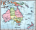
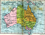
Political Map of Australia and Surrounding Area,
1915 |
|
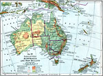
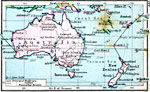
Australia and New Zealand,
1916 |
|
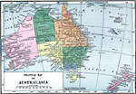
Political Map of Australasia,
1919 |
|
Australia,
1920 |
|
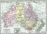
Commonwealth of Australia,
1920 |
|
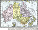
Australia,
1920 |
|
Australia,
1920 |
|
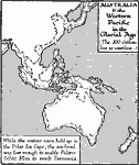
Australia and the West Pacific in the Ice Age,
20,000 to10,000 BC |
| First | Previous |
| Maps > Australia > Complete Maps |
Maps ETC is a part of the Educational Technology Clearinghouse
Produced by the Florida Center for Instructional Technology © 2009
College of Education, University of South Florida