|
|
|
| Maps > Europe > Complete Maps |
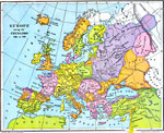
Historic and contemporary maps of Europe, including physical and political maps, early history and empires, WWI maps, climate maps, relief maps, vegetation maps, population density and distribution maps, cultural maps, and economic/resource maps.

|
Europe during the Norman and Plantagenet Period,
1066–1509 |
|
Europe During the Crusades,
1095–1270 |

|
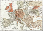
Europe at the time of The Reformation,
1517–1648 |

|
Europe,
1540 |
|
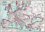
Europe, during the Thirty Years War,
1618–1648 |
|
Europe including the Thirty Years War and the Wars of the Spanish Succession,
1618–1714 |

|
Europe,
1648 |
|
Europe,
1713 |

|
Europe illustrating the Wars of the French Revolution and Napoleon's Wars,
1715–1830 |

|
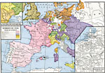
Europe after the Treaties of Utrecht and Nystad,
1721 |
| Next | Last |
| Maps > Europe > Complete Maps |
Maps ETC is a part of the Educational Technology Clearinghouse
Produced by the Florida Center for Instructional Technology © 2009
College of Education, University of South Florida