|
|
|
| Maps > Europe > France |
Historic and contemporary maps of France, including political and physical maps, early empires, WWI, city plans, and battle plans.
|
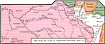
The Seat of War in Northern France,
1870–1871 |
|
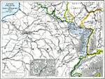
Eastern France,
1870–1871 |
|
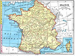
France,
1872 |
|
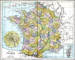
France,
1885 |
|
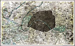
Paris and Vicinity,
1903 |
|
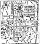
Plan of Nancy,
1903 |
|
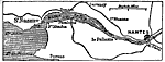
Environs of Nantes,
1903 |
|
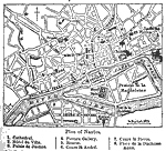
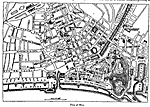
Plan of Nantes,
1903 |
|
Plan of Nice,
1903 |
|
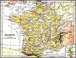
France,
1904 |
| First | Previous | Next | Last |
| Maps > Europe > France |
Maps ETC is a part of the Educational Technology Clearinghouse
Produced by the Florida Center for Instructional Technology © 2009
College of Education, University of South Florida