|
|
|
| Maps > Europe > France |
Historic and contemporary maps of France, including political and physical maps, early empires, WWI, city plans, and battle plans.
|
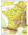
France,
1904 |
|
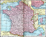
France,
1906 |
|
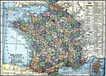
France,
1909 |
|
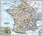
France,
1910 |
|
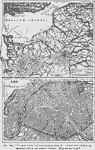
Paris and Northern France,
1910 |
|
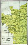
Brittany and Vendee,
1912 |
|
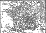
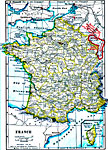
France,
1912 |
|
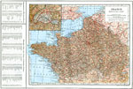
Northern France,
1914 |
|
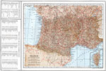
Southern France,
1914 |
|
France,
1914–1919 |
| First | Previous | Next | Last |
| Maps > Europe > France |
Maps ETC is a part of the Educational Technology Clearinghouse
Produced by the Florida Center for Instructional Technology © 2009
College of Education, University of South Florida