|
|
|
| Maps > Europe > Germany |
Historic and contemporary maps of Germany, including political and physical maps, early empires, WWI, city plans, and battle plans.
|
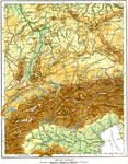
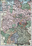
Southern Germany (Physical),
1915 |
|
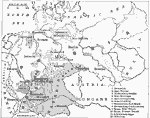
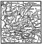
German Empire,
1916 |
|
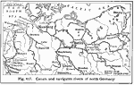
North German Waterways,
1916 |
|
Armistice on the Western Front,
1918 |
|
The Saar Basin,
1919 |
|
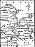
Kiel,
1919 |
|
Germany,
1919 |
|
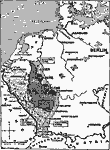
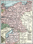
Eastern Germany,
1919 |
|
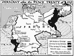
Germany After WWI,
1919 |
|
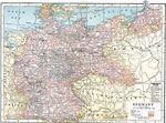
Germany,
1920 |
| First | Previous | Next | Last |
| Maps > Europe > Germany |
Maps ETC is a part of the Educational Technology Clearinghouse
Produced by the Florida Center for Instructional Technology © 2009
College of Education, University of South Florida