|
|
|
| Maps > Europe > Greece |
Historic and contemporary maps of Greece and Hellas, including political and physical maps, early empires, city plans, and battle plans.
|
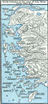
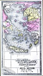
Greek Colonies on the Coast of Asia Minor,
1000 BC |
|
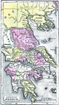
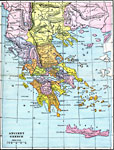
Ancient Greece,
1500 B.C. |
|
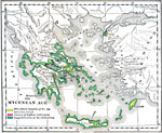
The Mycenean Age,
1550–1150 BC |
|
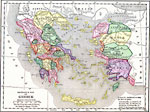
Reference Map of Greece,
1600–265 BC |
|
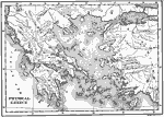
Physical Greece,
1600–265 BC |
|
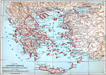
Ancient Greece,
1600–265 BC |
|
Islands of the Aegean Sea with the coasts of Greece and Asia Minor,
1600–265 BC |
|
Ancient Greece,
1600–265 BCE |
|
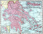
Greece and the Aegean Sea,
1876 |
|
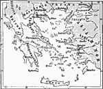
Greece,
1906 |
| Next | Last |
| Maps > Europe > Greece |
Maps ETC is a part of the Educational Technology Clearinghouse
Produced by the Florida Center for Instructional Technology © 2009
College of Education, University of South Florida