|
|
|
| Maps > Europe > Ireland |
A collection of historic and contemporary maps of Ireland, including detailed travel maps.

|
Ireland,
1800–1899 |
|
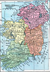
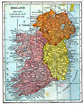
Ireland,
1872 |
|
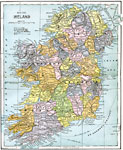
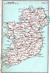
Ireland,
1885 |
|
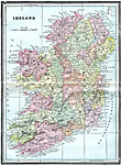
Ireland,
1903 |
|
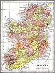
Ireland,
1904 |

|
Ireland,
1904 |
|
Ireland,
1905 |

|
Ireland,
1906 |
|
High Roads of Ireland,
1908 |
|
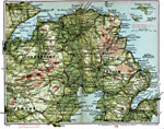
Antrim and Londonderry,
1908 |
| First | Previous | Next | Last |
| Maps > Europe > Ireland |
Maps ETC is a part of the Educational Technology Clearinghouse
Produced by the Florida Center for Instructional Technology © 2009
College of Education, University of South Florida