|
|
|
| Maps > Europe > Ireland |
A collection of historic and contemporary maps of Ireland, including detailed travel maps.
|
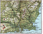
Wexford and Waterford,
1908 |
|
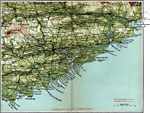
Cork and Youghal,
1908 |
|
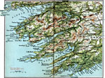
Bantry and Killarney,
1908 |
|
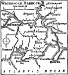
Waterford Harbor,
1909 |
|
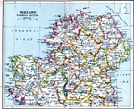
Ireland: Northern Section,
1910 |
|
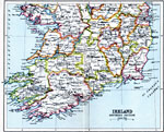
Ireland: Southern Section,
1910 |
|
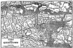
Cork and Queenstown,
1910 |
|
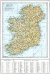
Ireland,
1914 |
|
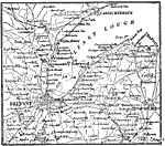
Belfast, Ireland,
1914 |
|
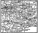
Cork, Ireland,
1914 |
| First | Previous | Next | Last |
| Maps > Europe > Ireland |
Maps ETC is a part of the Educational Technology Clearinghouse
Produced by the Florida Center for Instructional Technology © 2009
College of Education, University of South Florida