|
|
|
| Maps > Europe > Ireland |
A collection of historic and contemporary maps of Ireland, including detailed travel maps.
|
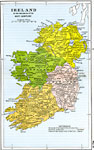
Ireland,
Early 1500's |
| First | Previous |
| Maps > Europe > Ireland |
Maps ETC is a part of the Educational Technology Clearinghouse
Produced by the Florida Center for Instructional Technology © 2009
College of Education, University of South Florida