|
|
|
| Maps > Europe > Italy |
Historic and contemporary maps of Italy, including political and physical maps, early empires, WWI, city plans, and battle plans.
|
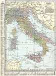
Italy,
1920 |
|
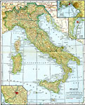
Italy,
1920 |
|
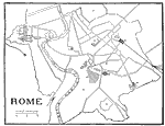
Rome,
1921 |

|
Venice,
1921 |

|
Italy and adjacent lands before the supremacy of Rome,
200 B.C. |
|
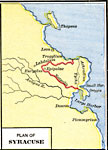
Plan of Syracuse,
200–50 B.C. |
|
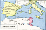
Rome and Carthage at the end of the Second Punic War,
201 BC |
|
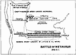
Battle of Metaurus,
208 BC |
|
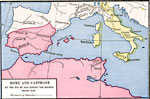
Rome and Carthage at the end of the second Punic War,
218–201 BC |
|
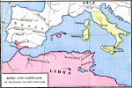
Rome and Carthage at the end of the first Punic War,
241 BC |
| First | Previous | Next | Last |
| Maps > Europe > Italy |
Maps ETC is a part of the Educational Technology Clearinghouse
Produced by the Florida Center for Instructional Technology © 2009
College of Education, University of South Florida