|
|
|
| Maps > Europe > Regional Maps >Iberian Peninsula |
Regional European maps of the Iberian Peninsula region from the Maps ETC collection. This includes physical and political maps, early history and empires, WWI maps, climate maps, relief maps, vegetation maps, population density and distribution maps, cultural maps, and economic/resource maps.
|
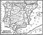
The Iberian Peninsula,
1491 |
|
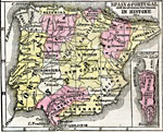
Map of Spain and Portugal with the divisions best known in history,
1789 |
|
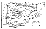
Sketch Map to Illustrate the Peninsula Campaign,
1808–1814 |
|
Spain and Portugal during the Peninsular War ,
1808–1814 |
|
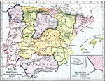
Spain and Portugal,
1872 |
|
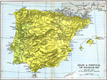
Spain & Portugal,
18th and 19th Centuries |
|
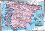
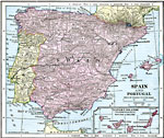
Spain and Portugal,
1904 |
|
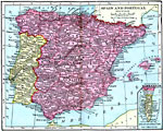
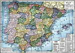
Spain and Portugal,
1906 |
|
Spain and Portugal,
1906 |
|
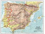
Spain and Portugal,
1909 |
| Next | Last |
| Maps > Europe > Regional Maps >Iberian Peninsula |
Maps
is a part of the
Educational Technology Clearinghouse
Produced by the
Florida Center for Instructional Technology
© 2009
College of Education
,
University of South Florida