|
|
|
| Maps > Europe > Regional Maps >Southeastern Europe |
Regional European maps of the Southeastern Europe region from the Maps ETC collection. This includes physical and political maps, early history and empires, WWI maps, climate maps, relief maps, vegetation maps, population density and distribution maps, cultural maps, and economic/resource maps.
|
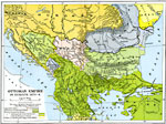
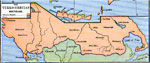
Ottoman Empire in Europe,
1870–1878 |
|
Turkey, Roumania, Servia, and Neighboring Countries,
1872 |
|
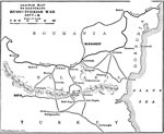
Russo-Turkish War,
1877–1878 |
|
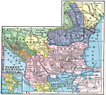
The Balkans,
1878 |
|
The Turko–Grecian Boundary,
1878 |
|
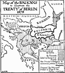
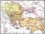
South Eastern Europe According to the Treaty of Berlin,
1878 |
|
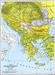
The Balkan Peninsula,
1878–1910 |
|
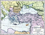
South Eastern Europe and Turkey,
1892 |

|
Roumania, Servia, Bulgaria, Montenegro and European Turkey (the Balkan States),
1906 |
|
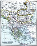
Balkan States,
1910 |
| First | Previous | Next | Last |
| Maps > Europe > Regional Maps >Southeastern Europe |
Maps
is a part of the
Educational Technology Clearinghouse
Produced by the
Florida Center for Instructional Technology
© 2009
College of Education
,
University of South Florida