|
|
|
| Maps > Europe > Regional Maps >Western and Central Europe |
Regional European maps of the Western and Central Europe region from the Maps ETC collection. This includes physical and political maps, early history and empires, WWI maps, climate maps, relief maps, vegetation maps, population density and distribution maps, cultural maps, and economic/resource maps.
|
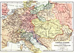
Central Europe at the Height of Napoleon's Power,
1812 |
|
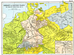
Germany and Eastern France,
1813–1814 |
|
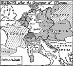
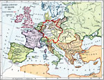
Europe After the Congress of Vienna,
1815 |
|
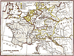
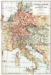
Central Europe,
1815 |
|
Central and Western Europe,
1815 |
|
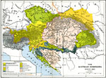
The Austrian Dominions,
1815 –1908 |
|
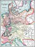
The Germanies,
1815–1866 |
|
Europe,
1816 |
|
Central Europe illustrating Continental Wars,
1848–1871 |
|
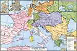
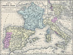
Map of France, Spain, Portugal, Italy, and Greece,
1858 |
| First | Previous | Next | Last |
| Maps > Europe > Regional Maps >Western and Central Europe |
Maps
is a part of the
Educational Technology Clearinghouse
Produced by the
Florida Center for Instructional Technology
© 2009
College of Education
,
University of South Florida