| Maps > Europe > United Kingdom |
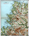
 | Aberdeen & Banff, Map shows first class and secondary roads in Aberdeen & Banff. |
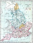
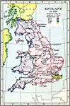
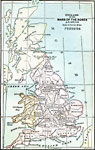
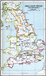 | Anglo-Saxon Britain "The Heptarchy", |
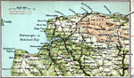
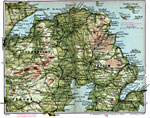 | Antrim & Londonderry, Map shows first class and secondary roads in Antrim & Londonberry. |
 | Armagh & Down, Map shows first class and secondary roads in Armagh & Down. |
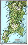
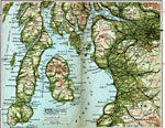
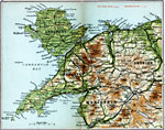
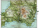
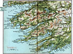 | Bantry & Killarney, Map shows first class and secondary roads in Bantry & Killarney. |
 | Battle of Bannockburn, Map showing the Battle of Bannockburn on June 20th, 1314. |
 | Battle of Dunbar, Map showing the Battle of Dunbar on September 3rd, 1650. |
 | Battle of Edge Hill, Map showing the Battle of Edge Hill on October 23rd, 1642. |
 | Battle of Marston Moor, Map showing the Battle of Marston Moor on July 2nd, 1644. |
 | Battle of Naseby, Map showing the Battle of Naseby on June 14th, 1645. |
 | Battle of Senlac, Map showing the Battle of Senlac, October 14th, 1066. |
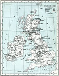
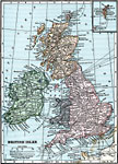
 | British Isles, Map showing British Isles. |
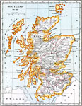
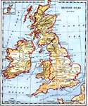 | British Isles, British Isles, including Scotland, England, Wales, Ireland. |
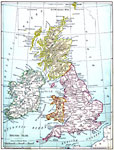
 | British Isles Economic - Agricultural Districts, Map shows chief uses of farm land and elevation levels. |
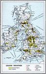 | British Isles Economic - Leading Industries, Map shows leading industries in British Isles. |
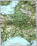
 | Bucks & Herts, Map shows first class and secondary roads in Bucks & Herts. |
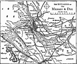
 | Carlisle & Dumfries, Map shows first class and secondary roads in Carlisle & Dumfries. |
 | Cavan & Monaghan, Map shows first class and secondary roads in Cavan & Monaghan. |
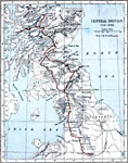 | Central Britain, 1715-1745, Central Britain in 1715-1745, showing the route of the Pretender. |
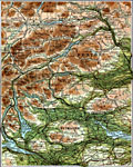 | Central Perthshire, Map shows first class and secondary roads in Central Perthshire. |
 | Chief Kinds of Fish Landed on Coasts of United Kingdom / Annual Production of Sponge, Chart showing chief kinds of fish landed on coasts of United Kingdom, and annual production of sponge. |
 | Cork & Youghal, Map shows first class and secondary roads in Cork & Youghal. |
 | Corn Imports to United Kingdom Year 1910, Chart showing corn imports of to United Kingdom in 1910. |
 | Cornwall, Map shows first class and secondary roads in Cornwall. |
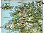 | County Donegal, Map shows first class and secondary roads in County Donegal. |
 | County Mayo, Map shows first class and secondary roads in County Mayo. |
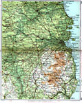
 | Derby & Sheffield, Map shows first class and secondary roads in Derby & Sheffield. |
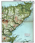 | Dornoch to Thurso, Map shows first class and secondary roads in Dornoch to Thurso. |
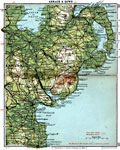
 | Dublin & Wicklow, Map shows first class and secondary roads in Dublin & Wicklow. |
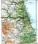 | Durham & Newcastle, Map shows first class and secondary roads in Durham & Newcastle. |
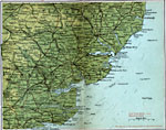
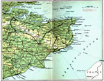 | East Kent, Map shows first class and secondary roads in East Kent. |
 | Edinburgh & Glasgow, Map shows first class and secondary roads in Edinburgh & Glasgow. |
 | England 1065 CE, England in 1065 CE. Shows the Earldoms of the house of Godwine and the Earldoms of the house of Leofric. |
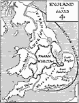
 | England After the Treaty of Chippenham, 878, England after the Treaty of Chippenham (also known as the Treaty of Wedmore), in 878 CE. |
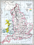
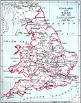 | England and Wales, 1485-1603, Map showing England and Wales 1485-1603. |
 | England and Wales, 1660-1892, England and Wales in the time period from 1660-1892. |
 | England and Wales, December 9th 1643, England and Wales as they were on December 9th, 1643. Map shows the districts held by the King and districts controlled by Parliament in the ongoing English Civil War. |
 | England and Wales, May 1st 1643, England and Wales as they were on May 1st, 1643. Map shows the districts held by the King and districts controlled by Parliament in the ongoing English Civil War. |
 | England and Wales, November 23rd 1644, England and Wales as they were on November 23, 1644. Map shows the districts held by the King and districts controlled by Parliament in the ongoing English Civil War. |
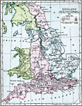
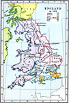
 | England During the Wars of the Roses, Map showing England during the Wars of the Roses. Map shows battlefields, encampments, places taken, sacked, and ravaged, and treaties. |
 | England in 550 CE, A map showing the distribution of ethnic groups in England in 550 CE. |
 | England in 584 CE, A map showing the distribution of ethnic groups in England in 584 CE. |
 | England in 626 CE, A map showing the distribution of ethnic groups and kingdoms under the influence of North Humberland in England in 626 CE. |
 | England in 640 A.D., A map of England in 640 A.D. |
 | England in 878, A map of England at the Treaty of Wedmore in 878. |
 | England in the Reign of Edward III, A map of England during the reign of Edward III, 1327-1377. Shows England, the Principality of Wales, and the Marches of Wales. |
 | England in the War of the Roses, A map showing England during the War of the Roses (1455-1485). |
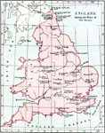
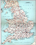
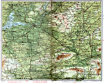
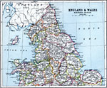 | England & Wales - Northern Section, |
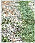
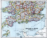 | England & Wales - Southern Section, |
 | Essex & Suffolk, Map shows first class and secondary roads in Essex & Suffolk. |
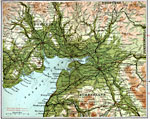
 | Firth of Clyde, Map shows first class and secondary roads in Firth of Clyde. |
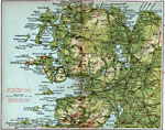
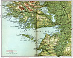 | Galway & Connemara, Map shows first class and secondary roads in Galway & Connemara. |
 | Glencoe 1691, The Glencoe valley area in Scotland in 1691. |
 | Glouchester & Oxford, Map shows first class and secondary roads in Glouchester & Oxford. |
 | Haddington & Berwick, Map shows first class and secondary roads in Haddington & Berwick. |
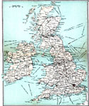
 | High Roads of England & Wales, High Roads of England & Wales |
 | Industy of the British Isles, A map of the British Isles in 1914 showning the distribution of industy and the products produced. |
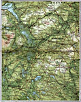
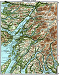 | Inverary & Oban, Map shows first class and secondary roads in Inverary & Oban. |
 | King's County, Map shows first class and secondary roads in King's County. |
 | Lairg to Wrath, Map shows first class and secondary roads in Lairg to Wrath. |
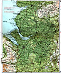
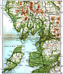 | Lake District & Isle of Man, Map shows first class and secondary roads in Lake District & Isle of Man. |
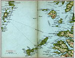
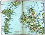
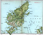 | Lewis & Harris, Map shows first class and secondary roads in Lewis & Harris. |
 | Limerick & Tipperary, Map shows first class and secondary roads in Limerick & Tipperary. |
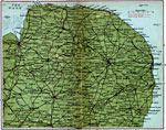
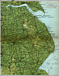 | Lincolnshire, Map shows first class and secondary roads in Lincolnshire. |
 | Liverpool, A map showing the area around Liverpool, England in 1919. |
 | Liverpool & Manchester, Map shows first class and secondary roads in Liverpool & Manchester. |
 | Loch Eil & Loch Maree, Map shows first class and secondary roads in Loch Eil & Loch Maree. |
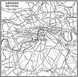
 | London and Vicinity, A map of London and the vicinity in 1903. |
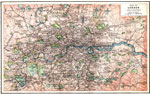
 | London and Vicinity, A map of London and the surrounding vicininty around 1909. |
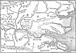 | London Area, A map of the London area. |
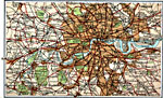 | London & Suburbs, Map shows first class and secondary roads in London & Suburbs. |
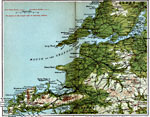
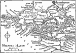 | Milford Haven, A map of Milford Haven, a seaport in Wales. |
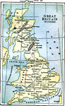 | Modern Great Britain, A map of Great Britain in 1889, showing major cities. |
 | Norfolk County, Map shows first class and secondary roads in Norfolk County. |
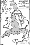
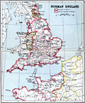 | Norman England, Map shows contrast between possessions of William I and dominions dependent on William I. |
 | North Devon, Map shows first class and secondary roads in North Devon. |
 | North Wales, Map shows first class and secondary roads in North Wales. |
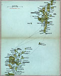 | Orkney & Shetland, Map shows first class and secondary roads in Orkney & Shetland. |
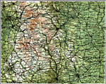
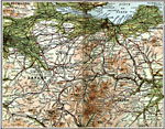
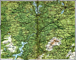
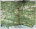
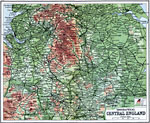 | Orographical Central England, Map shows land elevation levels in Central England. |
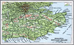 | Orographical South-East England, Map shows land elevation levels in Southeast England. |
 | Railways of the British Isles, Railways of the British Isles |
 | Roman Britain, Britain near the end of the time of Roman control, circa 400 CE. |
 | Roman Britain, A map showing the divisions of Roman Britain. |
 | Rum, Eigg, Barra, etc., Map shows first class and secondary roads in islands of Rum, Eigg, and Barra. |
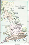 | Saxon England, A map of Saxon England, A.D. 900. |
 | Scotland 1641-1892, A map of Scotland in the time period from 1641-1892. |
 | Scotland 1641-1892, A map of Scotland in the time period from 1641-1892. |
 | Scotland in 1285, A map of Scotland in 1285 CE. |
 | Skye & Uist, Map shows first class and secondary roads in islands of Skye & Uist. |
 | Sligo & Leitrim, Map shows first class and secondary roads in Sligo & Leitrim. |
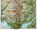
 | Somerset & Dorset, Map shows first class and secondary roads in Somerset & Dorset. |
 | South Devon, Map shows first class and secondary roads in South Devon. |
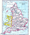
 | South Wales , Map shows first class and secondary roads in South Wales. |
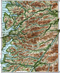
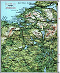
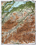 | Strathspey & Inverness, Map shows first class and secondary roads in Strathspey & Inverness. |
 | Surrey & Sussex, Map shows first class and secondary roads in Surrey & Sussex. |
 | The British Isles, A map of the British Isles in 1919, showing cities, submarine cables and railroads. |
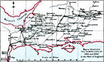
 | The Campaigns of 1685 and 1688 in West England, A map showing the Campaigns of 1685 and 1688 in Western England. Shown are the March of the Duke of Monmouth in 1685 and the March of the Prince of Orange in 1688. |
 | Tralee & Kilkee, Map shows first class and secondary roads in Tralee & Kilkee. |
 | West Yorkshire, Map shows first class and secondary roads in West Yorkshire. |
 | Wexford & Waterford, Map shows first class and secondary roads in Wexford & Waterford. |
 | Wigtown & Kirkcudbright, Map shows first class and secondary roads in Wigtown & Kirkcudbright. |
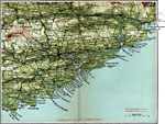
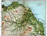
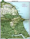 | Yorkshire Coast, Map shows first class and secondary roads on the Yorkshire Coast. |
| Maps > Europe > United Kingdom |
Maps is a part of the Educational Technology Clearinghouse
Produced by the Florida Center for Instructional Technology © 2007
College of Education, University of South Florida