|
|
|
| Maps > Europe > United Kingdom |
A collection of historic and contemporary maps of England, Scotland, and Wales, including historic divisions, empires and kingdoms, detailed travel maps, climate maps, population density and distribution maps, vegetation maps, and economic/resource maps.
|
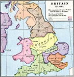
Britain,
1064 |
|
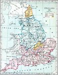
England,
1065 |
|
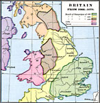
Britain,
1066–1070 |
|
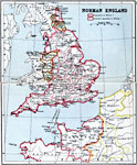
Norman England,
1066–1087 |
|
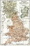
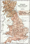
England, part of Scotland and Ireland during the Norman and Plantagenet Period,
1067–1509 |
|
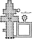
Plan of Salisbury Cathedral,
1075–1092 |
|
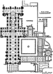
Plan of Durham Cathedral,
1093–1133 |

|
Scotland,
1285 |
|
England in the Reign of Edward III,
1327–1377 |
|
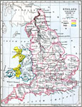
England and Part of Scotland during the York and Lancaster period,
1453–1487 |
| Next | Last |
| Maps > Europe > United Kingdom |
Maps ETC is a part of the Educational Technology Clearinghouse
Produced by the Florida Center for Instructional Technology © 2009
College of Education, University of South Florida