|
|
|
| Maps > Europe > United Kingdom |
A collection of historic and contemporary maps of England, Scotland, and Wales, including historic divisions, empires and kingdoms, detailed travel maps, climate maps, population density and distribution maps, vegetation maps, and economic/resource maps.
|
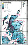
Climate Map of Scotland: Mean Annual Rainfall and January/July Temperature Averages,
1920 |
|
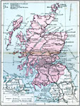
Scotland Transportation System,
1920 |
|
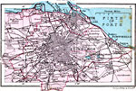
Edinburgh,
1920 |
|
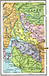
Scotland Plate I,
1920 |
|
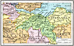
District Round Edinburgh,
1920 |
|
Scotland Plate II,
1920 |
|
Trossachs and Lower Clyde,
1920 |
|
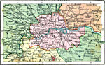
Environs of London,
1920 |
|
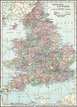
England and Wales,
1920 |
|
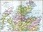
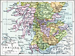
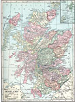
Scotland,
1920 |
| First | Previous | Next | Last |
| Maps > Europe > United Kingdom |
Maps ETC is a part of the Educational Technology Clearinghouse
Produced by the Florida Center for Instructional Technology © 2009
College of Education, University of South Florida