|
|
|
| Maps > Europe > United Kingdom |
A collection of historic and contemporary maps of England, Scotland, and Wales, including historic divisions, empires and kingdoms, detailed travel maps, climate maps, population density and distribution maps, vegetation maps, and economic/resource maps.
|
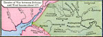
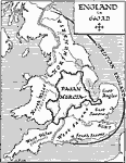
Theatre of War between Britains and West Saxons,
AD 577 |
|
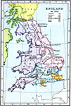
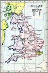
England,
AD 584 |
|
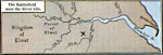
The Battlefield near the River Idle,
AD 616 – 617 |
|
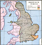
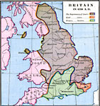
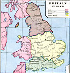
Britain,
AD 626 |
|
England,
AD 626 |
|
England,
AD 640 |
|
Britain,
AD 658 |
|
The New Settlements in Central Britain,
AD 666 |
|
Britain,
AD 795 |
|
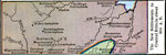
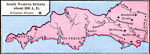
Religeous Houses of South Western Britain,
AD 800 |
| First | Previous | Next | Last |
| Maps > Europe > United Kingdom |
Maps ETC is a part of the Educational Technology Clearinghouse
Produced by the Florida Center for Instructional Technology © 2009
College of Education, University of South Florida