Maps Site map
  Maps > Europe > United Kingdom
Site Map  

  Record   41   to   50  of   228

A collection of historic and contemporary maps of England, Scotland, and Wales, including historic divisions, empires and kingdoms, detailed travel maps, climate maps, population density and distribution maps, vegetation maps, and economic/resource maps.

Map of Great Britain and Ireland, 1852
A map of the British Isles from 1852 showing Ireland, Scotland, England, and Wales. This map shows major cities, railroads, canals, universities, rivers, and terrain. Map notations indicate sailing distances measured in miles between the islands and ...

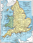
England and Wales, 1872
A map of England and Wales from 1872, showing major cities and towns, rivers, terrain, and the ferry crossings of the Strait of Dover between Dover and Calais, and Folkestone and Boulogne. ...

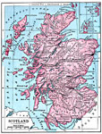
Scotland, 1872
A map of Scotland from 1872, showing counties, major cities, rivers, lakes, and terrain and coastal features....

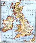
British Isles, 1882
A map of the British Isles from 1882, showing Ireland, Scotland, England, and Wales, with major cities, rivers, and terrain. An inset map shows the Orkney Islands....

British Isles, 1883
A map of the British Isles from 1883, showing Ireland, Scotland, England, and Wales, with major cities, railways, steamship routes, rivers, and terrain. An inset map shows the Orkney Islands....

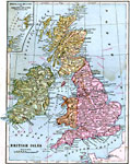
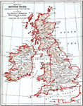
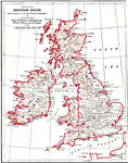
British Isles, 1885
A map of the British Isles from 1885, showing Ireland, Scotland, England, and Wales, with historic cities, rivers, and terrain. This map is subtitled "Showing places of greatest Historical Interest," referring to the work of Thalheimer's Me...

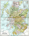
Scotland, 1885
A map of Scotland from 1885, showing major cities, towns, railroads, rivers, lakes, terrain, and coastal features. An inset map shows the Orkney and Shetland islands. Mountain elevations are shown in feet, and the ferry distances to Ireland are shown...

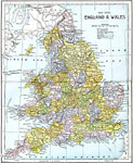
England and Wales, 1885
A map of England and Wales from 1885, showing counties, all cities and towns with a population over 100,000 at the time, railways and canals, ferry routes across the Strait of Dover, North Channel, and Irish Sea (with distance between ports in miles)...

The British Isles, 1885
British Isles, Showing places of greatest Historical Interest...

Modern Great Britain, 1889
A map of Great Britain in 1889, showing major cities, boundaries of Scotland, England, and Wales, rivers, Ben Nevis, and the Grampian and Cheviot Hills....

First Previous Next Last


  Maps > Europe > United Kingdom
Site Map  

Maps ETC is a part of the Educational Technology Clearinghouse
Produced by the Florida Center for Instructional Technology © 2009
College of Education, University of South Florida