|
|
|
| Maps > Globes & Multi-Continent > Regional Maps >Regional Mediterranean |
Regional Globes & Multi-Continental maps of the Regional Mediterranean region from the Maps ETC collection. This may include physical and political maps, early history and empires, climate maps, relief maps, vegetation maps, population density and distribution maps, cultural maps, and economic/resource maps.
|
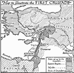
The First Crusade,
1095–1099 |
|
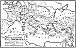
The Crusades,
1095–1204 |
|
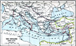
The Crusades,
1096–1270 |
|
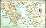
Ancient Greece and the Coast of Asia Minor,
1100–800 B.C. |
|
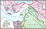
Greece and the Orient,
1250 B.C. |
|
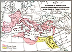
Expansion of Roman Power before the beginning of the Revolution to the Death of Caesar ,
133–44 B.C. |
|
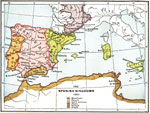
The Spanish Kingdoms,
1360 |
|
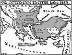
Ottoman Empire at Fall of Constantinople,
1453 |
|
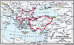
Rise of the Ottoman Empire,
1453 |
|
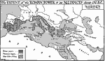
The Extent of Roman Power on the Eve of the Third Punic War,
150 BC |
| Next | Last |
| Maps > Globes & Multi-Continent > Regional Maps >Regional Mediterranean |
Maps
is a part of the
Educational Technology Clearinghouse
Produced by the
Florida Center for Instructional Technology
© 2009
College of Education
,
University of South Florida