|
|
|
| Maps > Globes & Multi-Continent > Regional Maps >Regional Pacific Ocean |
Regional Globes & Multi-Continental maps of the Regional Pacific Ocean region from the Maps ETC collection. This may include physical and political maps, early history and empires, climate maps, relief maps, vegetation maps, population density and distribution maps, cultural maps, and economic/resource maps.
|
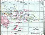
Central Pacific Ocean and Oceania on Mercator Projection,
1906 |
|
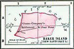
Baker Island (New Nantucket Island),
1906 |
|
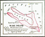
Wake Island,
1906 |
|
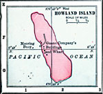
Howland Island,
1906 |
|
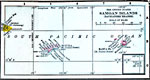
Samoan Islands (Navigators Islands),
1906 |
|
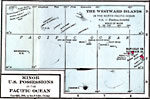
The Westward Islands in the North Pacific Ocean,
1906 |
|
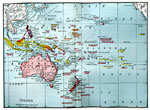
Oceania,
1906 |
|
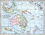
Australasia, Malay Archipelago, and Micronesia,
1906 |
|
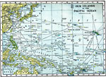
Our Islands in the Pacific Ocean,
1909 |
|
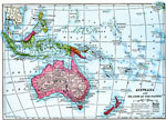
Australia and Islands of the Pacific,
1910 |
| First | Previous | Next | Last |
| Maps > Globes & Multi-Continent > Regional Maps >Regional Pacific Ocean |
Maps
is a part of the
Educational Technology Clearinghouse
Produced by the
Florida Center for Instructional Technology
© 2009
College of Education
,
University of South Florida