Maps Site map
  Maps > Globes & Multi-Continent > Regional Maps >Regional Pacific Ocean
Site Map  

  Record   41   to   44  of   44

Regional Globes & Multi-Continental maps of the Regional Pacific Ocean region from the Maps ETC collection. This may include physical and political maps, early history and empires, climate maps, relief maps, vegetation maps, population density and distribution maps, cultural maps, and economic/resource maps.
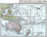
Oceania and the Pacific on Mercator's Projection, 1920
A map from 1920 of Oceania and the Pacific on a Mercator's Projection between latitudes 30° N and 50° S, and longitudes 100° E and 140° W of Greenwich. This map shows cities and ports, ocean steamer routes with distances between major ...

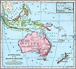
Australia and the Islands of the Pacific, 1921
A map of Australia, Australasia, and islands of the Pacific in 1921 covering the area roughly from Sumatra in the East Indies to Fiji, and the Philippines in the north to New Zealand in the south. An inset map shows the Hawaiian Islands. ...

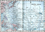
Islands of the Pacific Ocean, 1922
A map from 1922 of Oceania and the Pacific between latitudes 45° N and 20° S, and longitudes 110° E and 150° W of Greenwich. This map shows cities and ports, ocean steamer routes (dashed lines) with distances between major ports given ...

Route of the Chinese Voyage across the Pacific to Fusang, AD 453
A facsimile of the 1752 map showing the route believed to have been taken by early Chinese explorers to the Americas (Foussang des Chinois). Map note: "The map of Buache, 1752, showing De Guignes' route of the Chinese emigration to Fusang."...

First Previous


  Maps > Globes & Multi-Continent > Regional Maps >Regional Pacific Ocean
Site Map  

Maps is a part of the Educational Technology Clearinghouse
Produced by the Florida Center for Instructional Technology © 2009
College of Education , University of South Florida